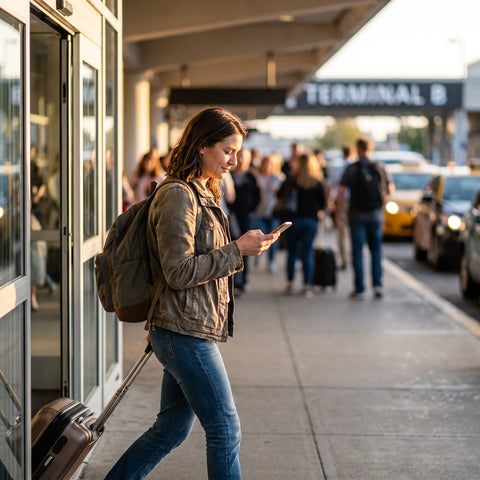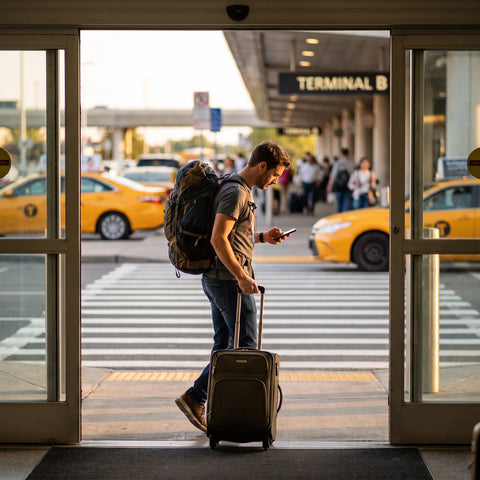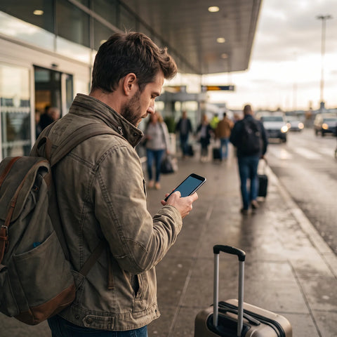
In short: For an eSIM on adventure trips and trekking, forget about having coverage on the trail: you won't have it on most remote routes. What you will get is reliable connection in the access village, at base camp, and in the entry city, which is where you really need it to download offline maps, report your position, and resolve an unforeseen event before completely disconnecting.
There's a misunderstanding that many trekkers repeat before their first long route: they think that an eSIM will give them mobile data throughout the entire trek, like portable Wi-Fi. This is not the case, and the sooner you realize it, the better you'll plan. In the Himalayas, Patagonia, or climbing Kilimanjaro, you'll spend days without a single bar of coverage. The eSIM doesn't compete with a satellite phone there. Its value is before and after each section without signal: in Lukla, in Puerto Natales, in Namche Bazaar, in Arusha. That's where you download what you need, send the message your family is waiting for, and check the weather forecast before climbing a mountain pass.

What coverage to actually expect in trekking areas
The general rule: the higher and more remote, the less signal. But it's not uniform, and knowing the pattern of each route saves you from scares. On the Annapurna Circuit, for example, there are sections with decent coverage near the passing villages (Manang, Jomsom) and then a total void when crossing the Thorong La pass, at over 5,400 meters. On the trek to Everest Base Camp, it's different: Nepal has been installing 4G antennas along the Khumbu route, so in Namche Bazaar and Lukla the signal is reasonably stable, and there are intermediate sections with intermittent coverage up to near base camp itself.
In South America, the pattern changes. In Torres del Paine, the signal almost completely disappears as soon as you enter the park; Puerto Natales, the access town, is where you have to get everything sorted. Something similar happens on the Inca Trail to Machu Picchu: practically no coverage on the four-day trail, and good signal in Cusco and Aguas Calientes, the town at the foot of the citadel. If your route passes through Peru, it's worth carefully reading our eSIM guide for Machu Picchu and the Inca Trail, because it goes into detail about the exact points where you regain coverage.
In Europe, the scenario is completely different. The Camino de Santiago or the Alta Via 1 in the Dolomites run through areas with dense telecommunications infrastructure: coverage is good on most of the route and excellent in towns and refuges. The problem there is not the lack of signal, but rather managing roaming well if you come from outside the EU.
| Trekking Area | On-route Coverage | Base Village/Arrival Coverage |
|---|---|---|
| Everest Base Camp (Nepal) | Intermittent, improves near Namche | Good in Namche Bazaar and Lukla |
| Annapurna Circuit (Nepal) | Irregular, none at Thorong La Pass | Acceptable in Manang and Jomsom |
| Torres del Paine, W Trek (Chile) | Very limited or none within the park | Good in Puerto Natales |
| Inca Trail to Machu Picchu (Peru) | Practically none on the trail | Good in Aguas Calientes and Cusco |
| Kilimanjaro (Tanzania) | Limited, slightly better on more frequented routes | Good in Arusha and Moshi |
| Camino de Santiago (Spain/Portugal) | Good for most of the route | Excellent in cities and towns |
| Alta Via 1, Dolomites (Italy) | Good on main sections, weak near ridges | Excellent in valley towns |
| John Muir Trail (Sierra Nevada, USA) | Very limited, almost none in Yosemite Park | Acceptable in Mammoth Lakes and Lone Pine |
This table is indicative, not a promise: actual coverage depends on the local operator, weather, and even if there are works on an antenna that week. Treat it as a reference for planning, not a guarantee.
The eSIM as a safety tool, not just for connectivity
On adventure routes, connection is not a luxury, it's part of the safety equipment. And here there are nuances that are overlooked:
- An SMS or a WhatsApp text message can be sent with much less coverage than a call or video call requires. If you see a faint bar of signal when crossing a ridge, take advantage of it to send an "all good, still on route" message before it disappears again.
- The mobile phone's GPS works without data or coverage: it uses satellite signal, not the operator's network. You can track your position on the map even if you don't have a single bar. The problem arises if you need that position to reach someone — for that, you do need coverage, or a dedicated satellite device.
- In every passing village with a signal, take advantage of three things in order: notify whoever is monitoring you at home, check the weather forecast for the next section, and download any missing offline maps. Don't leave this for the last village before a long stage — do it as soon as you have coverage, because you don't know if you'll have it again before you need it.
- If your route enters truly isolated territory — Annapurna above Thorong La, Patagonian glaciers, sections of Kilimanjaro above the last camp — no eSIM in the world will save you. There, the reference equipment is a satellite locator like Garmin inReach or similar, which sends your position and an SOS even if there's no trace of a mobile network.
How to plan your eSIM before setting off on a long trek
The order matters more than it seems. A trekker who arrives at the airport without an eSIM installed loses the first afternoon dealing with this instead of organizing their gear:
- Buy and install the eSIM before leaving home, with a calm Wi-Fi connection, not at the arrival airport with your hands full. If you've never done it before, this step-by-step installation guide resolves typical doubts about the first attempt.
- Activate it as soon as you land or enter the country, to have data from the airport without relying on hotel Wi-Fi.
- Download ALL offline maps at your accommodation, before heading out on the trail — not halfway through the route with 30% battery and one bar of coverage that will disappear in five minutes.
- At each point with signal during the route, synchronize messages, check the weather, and download the next section if you don't have it already.
- Take a data plan with a margin, even if you estimate you'll use little. In an emergency, you won't be worrying about how many megabytes you have left, and running out of data at the worst moment is avoidable.
If you're going to chain several countries together on the same trip — something common when trekking is just part of a longer route through South America or Southeast Asia — it's worth first understanding the difference between eSIM and traditional roaming and, if you still doubt the concept, exactly what data roaming is. It helps you avoid billing surprises when crossing from one country to another with your Spanish operator's SIM.
Essential offline apps for trekkers
The eSIM provides the connection window; these apps are the ones that make good use of that window:
- Wikiloc (offline mode): download the exact GPS route before setting off. Works without data once downloaded.
- Maps.me or similar: detailed offline maps, useful in areas where Google Maps falls short.
- Gaia GPS: downloadable topography and contour lines, more geared towards technical mountaineering.
- Mountain-forecast or altitude weather apps: the generic forecast for your home city won't work at 4,000 meters; look for a specific forecast for the mountain range.
- WhatsApp: in areas with weak signal, try to send only text, not photos or audios — they are sent much more easily and consume less data.
Popular trekking routes and which eSIM makes sense
| Route | Country | Typical Duration | What plan makes sense |
|---|---|---|---|
| Annapurna Circuit | Nepal | 14–21 days | Local eSIM for Nepal, activated before ascending to higher villages |
| Everest Base Camp | Nepal | 10–14 days | Local eSIM for Nepal + offline maps from Kathmandu |
| W Trek | Chile | 5–10 days | Local eSIM for Chile activated in Puerto Natales |
| Inca Trail to Machu Picchu | Peru | 4 days | Local eSIM for Peru, everything sorted in Cusco |
| Kilimanjaro | Tanzania | 7–9 days | Local eSIM for Tanzania, activated in Arusha |
| Camino de Santiago (French Way) | Spain / Portugal | 28–35 days | If traveling from outside Spain, our Spain eSIM; if also crossing other EU countries on the same trip, a Europe eSIM is better |
| Alta Via 1 | Italy (Dolomites) | 7–14 days | Europe eSIM, useful if the trip includes a layover in another EU country |
| John Muir Trail / Pacific Crest Trail | United States | 15–25 days (sections) | United States eSIM, activated in the park's entry city |
Notice a pattern: in destinations with cheap and easy-to-get local SIMs on the ground (like much of Southeast Asia), the eSIM primarily offers convenience and data from the first minute at the airport. In destinations where buying a physical SIM involves queues, paperwork, or passport registration that you don't feel like doing in the rush of last-minute travel, the advantage of the eSIM is even greater.
What almost no one tells you before a long trek
After reviewing coverage route by route, there are a series of details that aren't in generic trekking guides but do make a difference:
- Cold kills battery much faster than data. Above a certain altitude and at sub-zero temperatures, mobile phone battery life plummets, whether you have an eSIM active or not. Bring a high-capacity power bank and keep your phone close to your body, not in the outer pocket of your backpack where the cold hits it directly.
- Having coverage doesn't mean having speed. In many mountain villages, the antenna is enough to send a WhatsApp text, but not to upload photos or make video calls. Save video calls for when you arrive in a city with real Wi-Fi.
- Airplane mode with Wi-Fi activated saves more battery than you think on sections where you know you won't have coverage for hours. Activate it when leaving the last village and deactivate it when you see the next.
- A data eSIM does not replace a satellite device in truly isolated areas. It's tempting to think that with "general" data you're covered, but on a Patagonian glacier or crossing a pass at 5,000 meters, no eSIM will work: there, the safety margin is provided by a Garmin inReach or similar, not the mobile operator.
- Registering the eSIM before leaving home avoids queues you can't imagine. In some airports in adventure destinations (Kathmandu during high season, for example), queues for physical SIMs can take over an hour as soon as you land, just when you want to get to the hotel as soon as possible to prepare your gear.
When you DON'T need to buy an eSIM for your trek
Here we need to be honest, even if it doesn't suit us to sell: if your route is the Camino de Santiago and you are departing from Spain, you don't need any additional eSIM — your Spanish plan already covers you throughout the route, both in Spain and the Portuguese section thanks to European roaming regulations. Buying an eSIM there would be spending on something you already have covered.
It also doesn't make much sense if your "trekking" consists of a couple of days of gentle hiking near a European city with good coverage: in that case, again, your national plan or EU roaming already covers you. A travel eSIM starts to make real sense when you leave the EU, when your operator's roaming prices skyrocket, or when you're going to be away for weeks and need a data plan you can control without bill surprises.
Frequently Asked Questions
Is there coverage at Everest Base Camp?
There is intermittent coverage along much of the Khumbu route, with 4G antennas installed by Nepali operators, and reasonably stable signal in Namche Bazaar and Lukla. The closer you get to base camp, the more erratic it becomes.
Can I send messages when the signal is very weak?
Yes, and it's the best option at that moment: an SMS or a WhatsApp in text-only mode will get through with much less coverage than a call needs. Avoid sending photos or voice notes if you see that the signal is only one bar.
Does the mobile phone battery hold up well in the cold of high mountains?
Not particularly: cold significantly reduces battery life, regardless of whether you have data activated or not. Carry a high-capacity power bank and keep your phone close to your body, not directly exposed to the cold.
Does a satellite GPS locator replace an eSIM on remote routes?
It doesn't replace it, it complements it. The eSIM gives you data where there is a local operator's network; the satellite locator (like Garmin inReach) works without any mobile coverage and is what really makes a difference in completely isolated sections, such as high mountain passes or glaciers.
Do I need a different eSIM for each country if my route crosses borders?
It depends on the itinerary. If you are going to be in each country for several days, a local eSIM per destination is usually worthwhile. If the border crossing is occasional within the same region with good coverage between countries, a regional eSIM can simplify management without having to reinstall anything mid-trip.
Will the eSIM work as soon as I land in Kathmandu, Lima, or Nairobi?
Yes, if you have installed and set it up before leaving home: it activates with the local operator as soon as it detects the airport's network, so you have data from the moment you land, without having to find Wi-Fi or queue for a physical SIM.
What happens if my trekking route has no coverage at all at any point?
This occurs on some very technical routes or glacier sections. In such cases, the eSIM remains useful before and after the route —in the access town and upon return— but during the isolated section, there is no mobile operator technology, yours or any company's, that provides coverage where there is no antenna. For these sections, the recommended safety equipment is a dedicated satellite device.
Whatever your route, having an active eSIM at access points is another piece of the modern trekker's safety stack, along with offline maps, a communication plan with those at home, and, on more isolated routes, a satellite tracker. No single piece replaces the others; they truly work when combined.